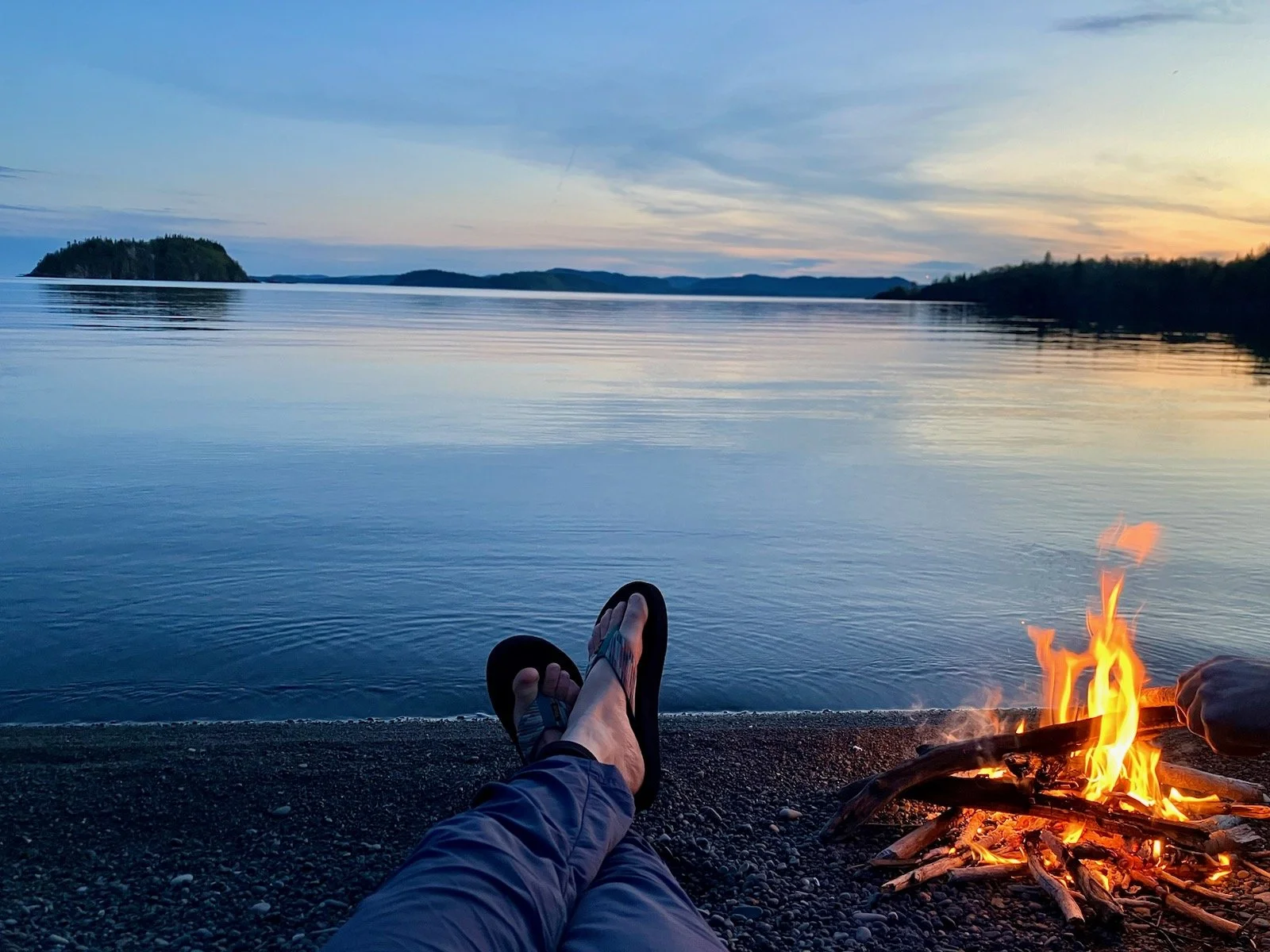
Kayaking Across the Border
Little Trout Bay is just a short drive once you cross into Ontario, but is just the start of some amazing sea kayaking, right here in the middle of the continent. We love our shoreline and the Sawtooth Mountains, but once you come east to Grand Portage and beyond, you start to see dramatic cliffs, protected bays, and off-shore islands.
Starting at the the boat launch, there are cliffs to see and islands to explore. There are miles (or should we say kilometers?) of paddling to be done here.
There are plenty of resources out there for kayaking along the Lake Superior Water Trail in the US, but we had trouble finding details in this area, so we made our own map. You may be familiar with our first maps of trails in Cook County. Our summer map hits the highlights for hiking trails and the winter version has insets for the cross country ski trail systems with a helpful key that tells you what pass is needed. In 2018, we came out with our kayaking map. One side follows the north shore up to this area and the other side covers the entire shoreline of Isle Royale. This map doesn’t include hiking trails, only near shore depths and shoreline topography.
Sea kayaking, especially where the water temperature rarely gets above 40 degrees, requires certain equipment and experience. We don’t rent watercraft for Lake Superior and all our guides have over 36 hours of training before they can take our gear and guests out on the big lake. We do all this so we can share these magical places with you. We offer full-day guided kayak tours to Little Trout Bay. This trip includes your kayak, PFD, paddle, and wetsuit. We also bring along lunch and a snack. You will need to bring your passport, sun protection, and water. You can find more information about all our tours here.


